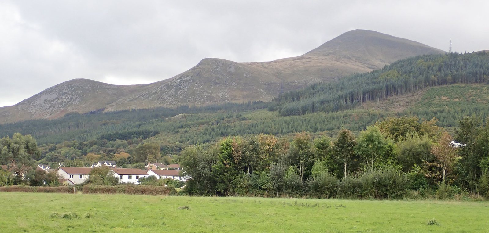
Starting point: Donard Park, Newcastle
Start at Donard Park car park, at the southern end of Newcastle, County Down. Check the route map for the entrance and follow access signs when you arrive.
About Donard Park → · Travel & parking →
- Distance
- ~9.3 km return
- Difficulty
- Very strenuous
- Route
- Out and back
- Time / ascent
- No estimate available
Landmarks along the way
Donard Park and the forest
From Donard Park, the climb enters Donard Wood beside the Glen River. The woodland makes an enjoyable first part of the walk, whether you plan to reach the summit or turn back sooner.
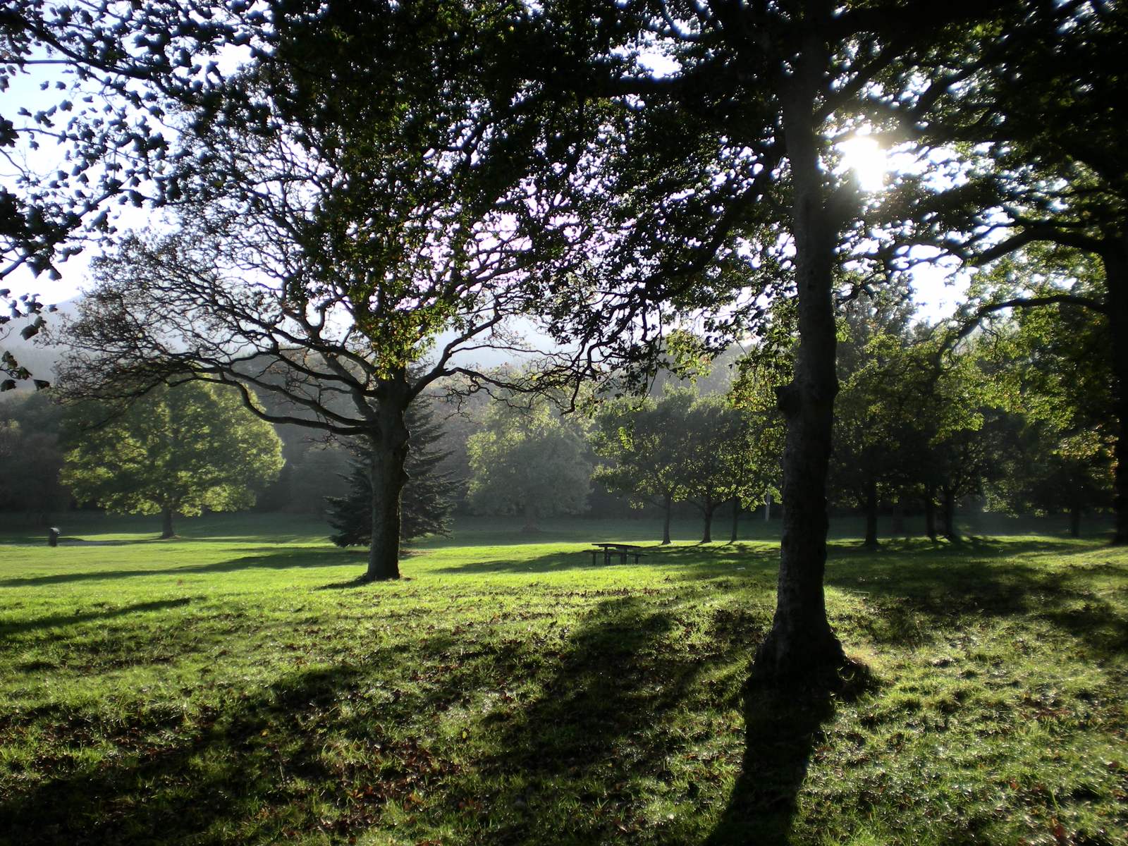
Glen River and its bridges
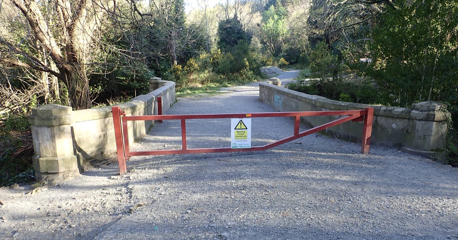
Woodland paths follow the Glen River, with bridges along the way. Beyond the forest, the track becomes rougher. Take care around overhanging riverbanks and crossings, and follow your map and route directions.
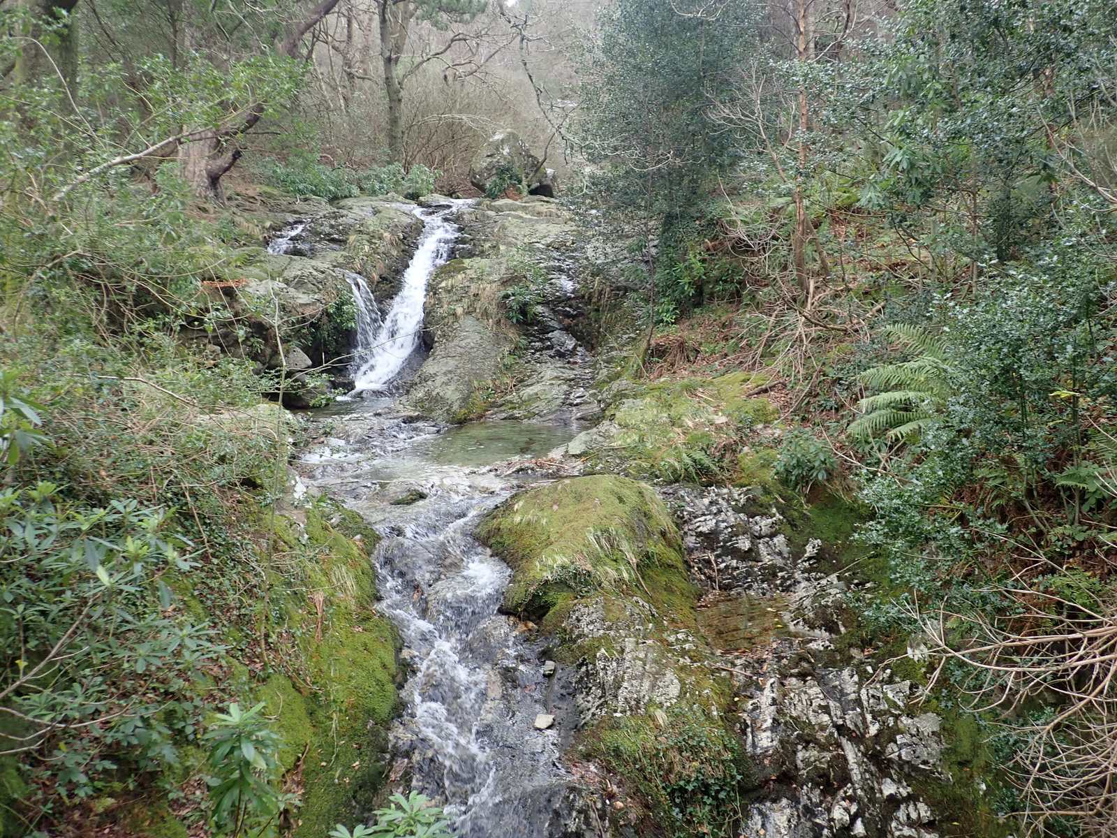
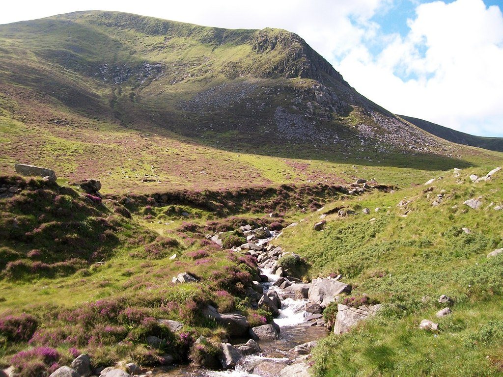
The open Glen River valley
Beyond the trees, the valley opens into mountain ground. The climb continues towards the saddle between Slieve Donard and Slieve Commedagh.
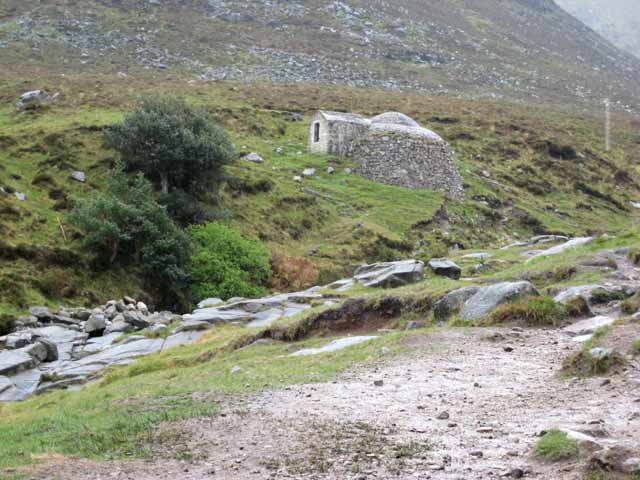
The old ice house
Look for the small brick-and-granite ice house in the valley. It once stored ice before electric refrigeration and was restored in 1996–97.
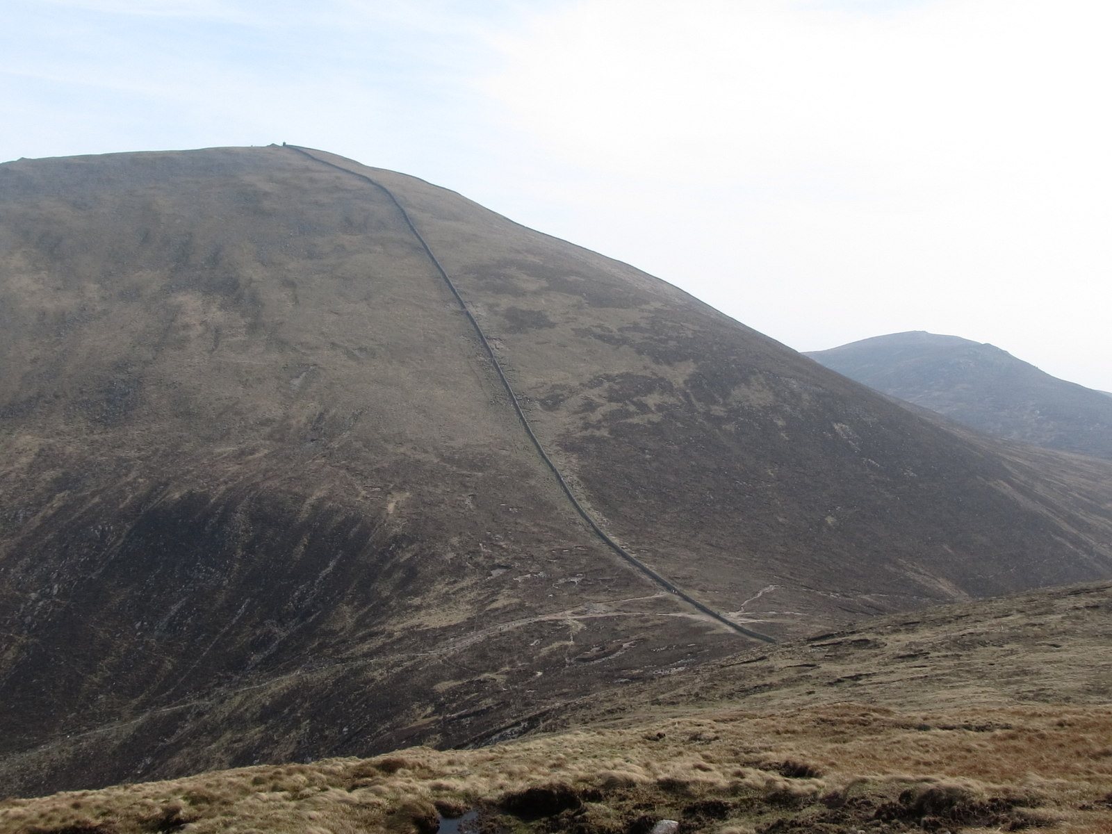
The saddle and Mourne Wall
The saddle is the low point between Donard and Commedagh, where the Glen River approach meets the Mourne Wall. Pause here to check the weather, how everyone is feeling and the climb still ahead.
The final ascent
From the saddle, the route climbs steeply beside the Mourne Wall to Donard’s summit. The mountain is exposed. Keep away from the Eagle Rocks cliffs on the northern side.
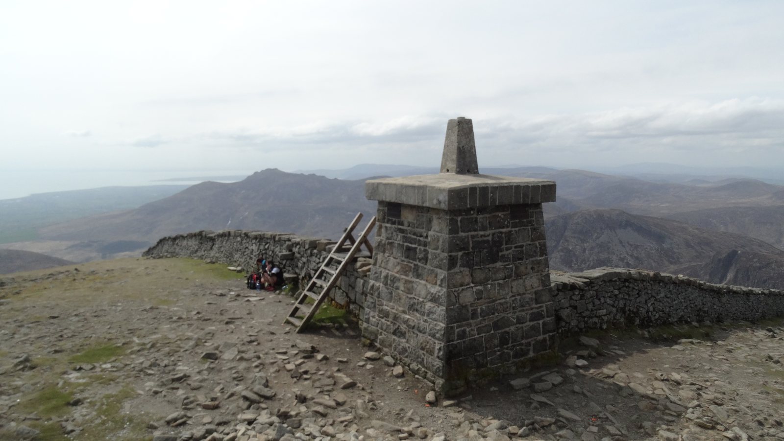
Summit cairns and the water story
Two prehistoric cairns stand on the summit: the Great Cairn is a passage tomb, and the Lesser Cairn dates from the Bronze Age. Treat these remains with care. The Mourne Wall, built between 1904 and 1922, enclosed the water catchment.
The return to Newcastle
Return by the same Glen River approach: descend beside the wall to the saddle, then follow the valley and woodland back to Donard Park. Leave enough daylight and energy for the descent. You can turn back before the summit if the weather or the group’s pace calls for it.
Prepare for the mountain
Forest paths become rough mountain paths with a steep final climb. River crossings and exposed ground require care; avoid the Eagle Rocks cliffs. Mountain navigation and suitable equipment are essential.
Compare the high-ground forecast with Newcastle, check official warnings and leave room to change your plan. Bring navigation equipment and the skills to use it, warm and waterproof clothing, food, water and a headtorch.
Full preparation guide → · Compare the forecast →
After the walk
Newcastle’s beach and promenade are close to the mountain’s base. Leave time for a promenade stroll or a stop in town. Check opening times before counting on a shop or café for supplies.
Explore Newcastle & the local area →
Sources & route details
Distance covers the return journey, approximately twice WalkNI’s 2.9-mile one-way route. Route measurements can differ with the starting point; use the linked route map.
Checked 2026-10-08: WalkNI: Slieve Donard via Glen River · National Trust: The Mournes · OutmoreNI: Glen River · Hearth Historic Buildings Trust: the ice house · National Trust: history of Slieve Donard.