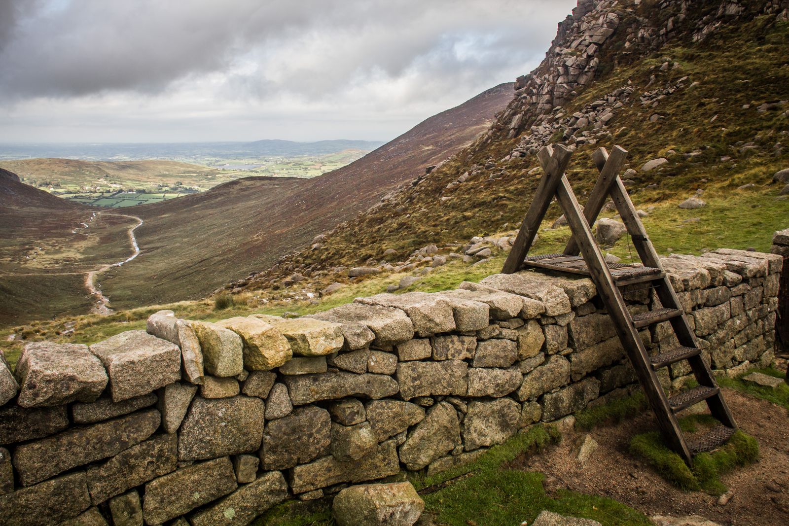
Hare’s Gap and the Mourne Wall. Photo credit & licence
- Distance · Approx. return
- ~6.8 km
- Difficulty
- Strenuous
- Walking time
- No estimate available
- Total ascent
- No estimate available
The walk
Walk from the Trassey Road car park to Hare’s Gap, then return the same way. The distance covers this out-and-back walk; summit extensions and the Brandy Pad add to the day.
Underfoot
Unsurfaced paths, stiles, river fords, bare rock and a boulder field on the climb to the pass. Water levels and exposed weather can change the difficulty. Bring mountain navigation equipment.
Start & access
Start: Trassey Road council car park. Source grid reference J311314.
Use the designated car park and the stiles; leave gates closed and keep dogs on leads. Much of the route crosses private land with access by landowner goodwill. Check the route’s access information and local signs.
Route map & access at WalkNI — Outdoor Recreation Northern Ireland
Give yourself enough time
Allow for your group’s pace, terrain, stops and daylight. Leave enough time and energy for the return journey.
Sources & walk details
Checked 8 October 2026. Original grade: Strenuous. Distances rounded for comparison. Where time or ascent is unavailable, no estimate is supplied. A summit height is different from a walk’s total ascent. About the route information.