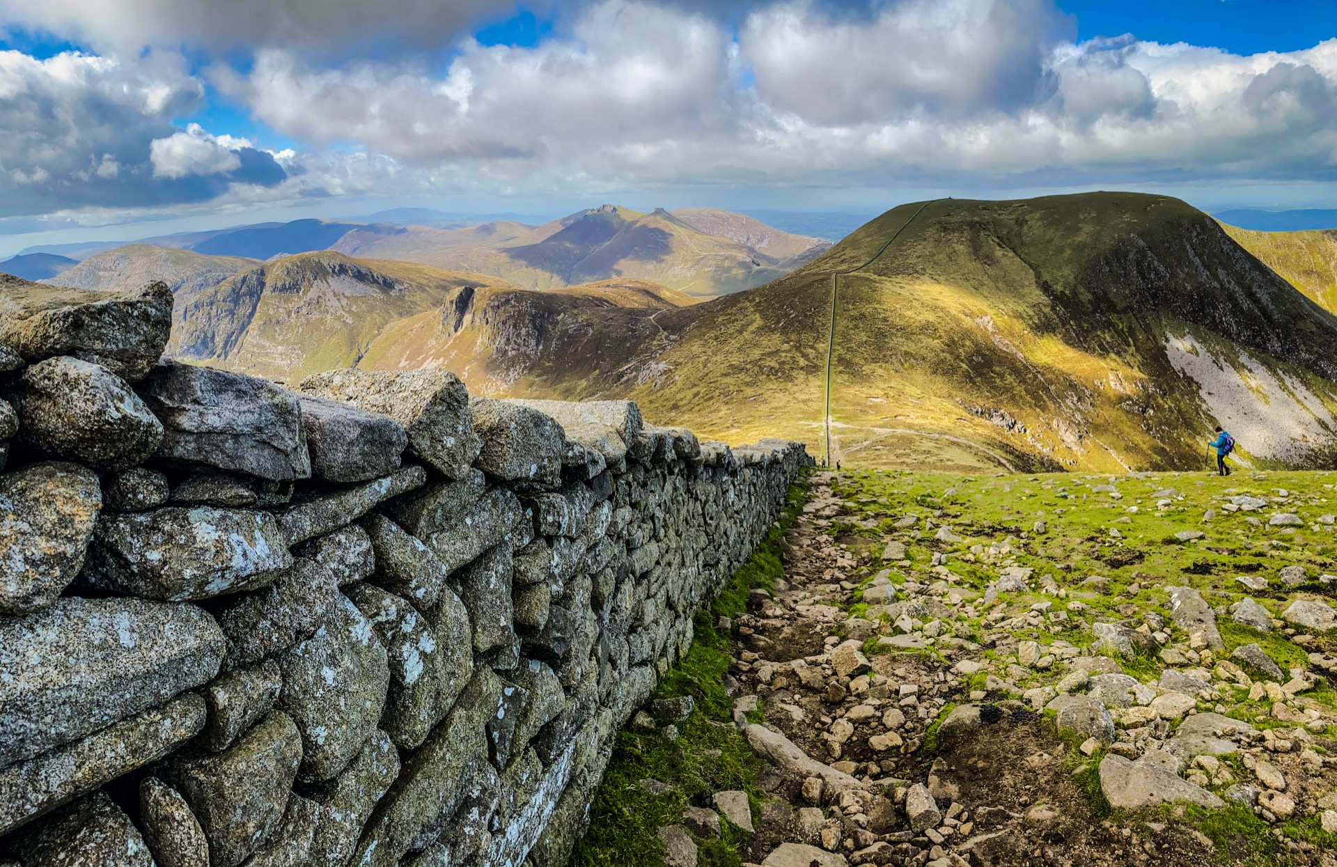
The wider Mourne landscape seen from Slieve Donard. Photo credit & licence
- Distance · Approx. return
- ~9.3 km
- Difficulty
- Strenuous
- Walking time
- No estimate available
- Total ascent
- No estimate available
The walk
Climb from Donard Park beside the Glen River, through woodland and open valley to the saddle with Commedagh. The final ascent follows the Mourne Wall to the summit. Return the same way; this is a very strenuous mountain day.
Underfoot
Forest paths become rough mountain paths with a steep final climb. River crossings and exposed ground require care; avoid the Eagle Rocks cliffs. Mountain navigation and suitable equipment are essential.
Start & access
Start: Donard Park car park, Newcastle. Source grid reference J375305.
Approach Donard Park at the southern end of Newcastle's main street. For parking and toilets, check the route information and local signs before leaving. Keep dogs on leads.
Route map & access at WalkNI — Outdoor Recreation Northern Ireland
Give yourself enough time
Allow for your group’s pace, terrain, stops and daylight. Leave enough time and energy for the return journey.
Sources & walk details
Checked 8 October 2026. Original grade: Very strenuous. Distances rounded for comparison. Where time or ascent is unavailable, no estimate is supplied. A summit height is different from a walk’s total ascent. About the route information.