You can enjoy the Mourne landscape without choosing a summit climb. Start with two short forest and lake routes, or consider the longer walk to Ben Crom. Compare the distance as well as the grade: easy ground can still make a long outing.
| Walk | Distance | Difficulty |
|---|---|---|
| Tollymore Arboretum Path | ~0.6 km | Easy |
| Castlewellan Lakeside Walk | ~3.9 km | Easy |
| Silent Valley to Ben Crom Dam | ~10 km | Easy · NI Water level one |
Read each route for its start, surfaces and access. A grade is a comparison, not a guarantee of suitability.
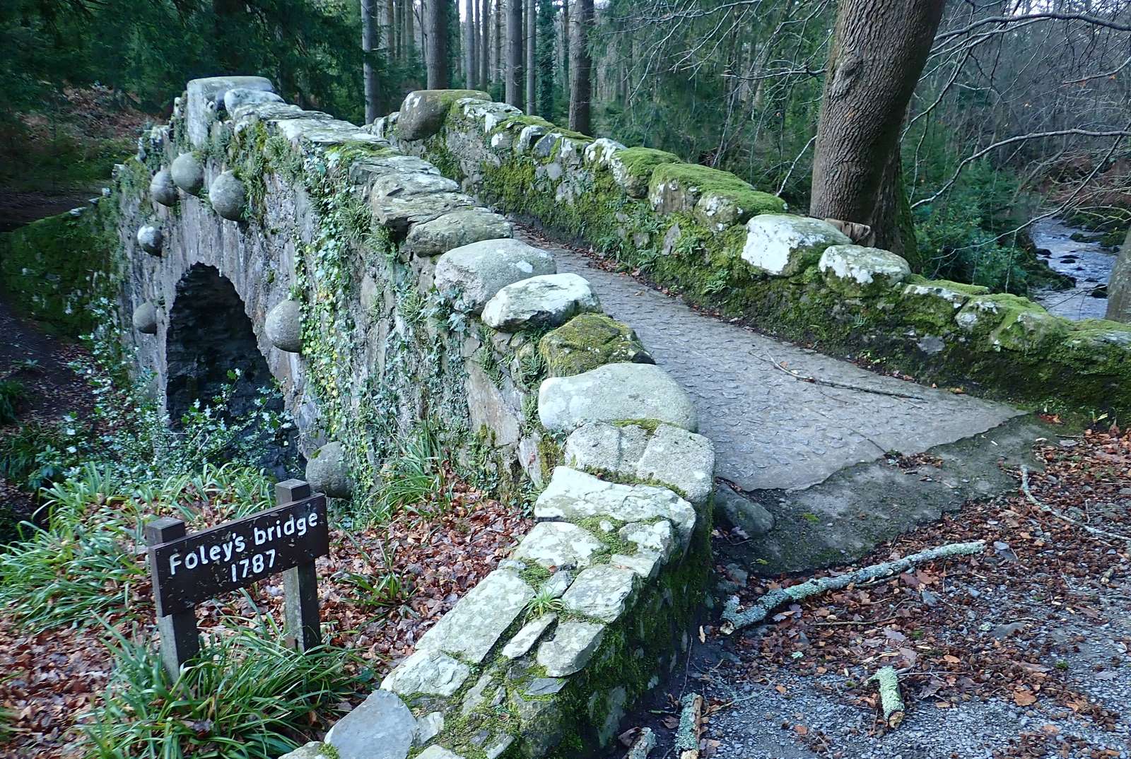
For a short woodland outing: Tollymore Arboretum
The Arboretum Path is the short option among Tollymore’s waymarked trails. Enjoy the trees and woodland setting without committing to the park’s longer river or mountain routes.
Begin with the information board at the main car park and choose the Arboretum Path. Wear footwear suited to forest surfaces and use the park’s current trail board for the loop you intend to follow.
For a lake circuit: Castlewellan
Castlewellan’s Lakeside Walk follows the lake on broad forest paths. Its circular shape makes it a useful option when you want a longer stroll than the Arboretum Path, with the lake and wooded slopes keeping the landscape varied.
Use the Lakeside car park and the published trail information. Parts of the route are shared with mountain bikes, so stay aware of other trail users.
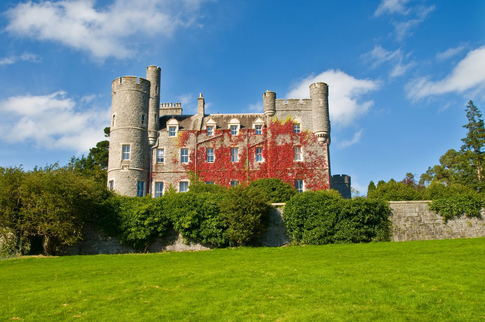
Lakeside Walk: start and route → · More about Castlewellan →
For a longer valley day: Silent Valley to Ben Crom
The Ben Crom Dam Walk follows the tarmac road through the valley from Silent Valley. It brings you into the mountain landscape without adding a summit ascent.
At about 10 km return, this is a longer walk despite the lower published grade. Leave enough energy and daylight for the journey back; choose a shorter park trail if that distance does not suit the group. Follow NI Water’s current access information and signs.
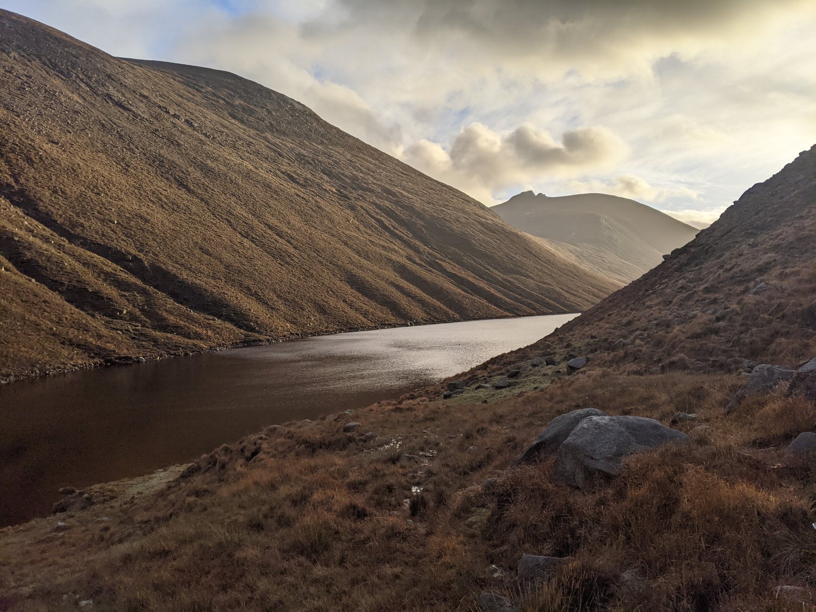
Ben Crom Dam Walk: distance and start → · Visit Silent Valley → · Mourne dams and reservoirs →
Choose by the whole outing
Think about the least experienced walker, the distance, surfaces, slopes and the journey home. An easy grade helps compare routes; it does not guarantee that a walk suits every person, wheelchair or pushchair.
A short route can include steps. Silent Valley’s Reservoir Trail, for example, is a shorter alternative but has NI Water’s level-two grade. Read each route’s ground and access notes rather than choosing on length alone.
Read the Reservoir Trail details → · Prepare for your walk → · Compare the forecast →
Questions before you go
Is Slieve Donard an easy walk?
The Glen River ascent is a demanding mountain walk with rough, exposed ground and a steep final climb. Choose a forest or lakeside route for a gentler outing.
Read the Donard climbing guide →
Which is the shortest walk listed here?
The Tollymore Arboretum Path is the shortest of these three published routes. Check the park’s trail board before starting; published descriptions use slightly different lengths.
Are these walks suitable for wheelchairs or pushchairs?
Check the operator’s current surface, gradient, step and access information for the exact route. A difficulty grade alone does not establish step-free access.
Sources & further reading
Checked 2026-10-09. Distances are rounded from the linked route catalogue. WalkNI describes Tollymore’s Arboretum Path as 0.4 miles; Forest Service describes the Blue Trail as half a mile. Use the current park trail board for your chosen loop. Original NI Water grades are retained alongside the guide’s comparison grades.
walkni.com · www.nidirect.gov.uk · walkni.com · www.niwater.com